census 2021 data for england and wales is out now
we want to show the data on a map
...why? most council data tends to be geospatial as the work always happens somewhere (also 60% of all data is geospatial, allegedly, so maps are important for datavis)
i am interested in the part of england that has the the fastest growing population and the highest population density:
The London Borough of Tower Hamlets
where is tower hamlets?
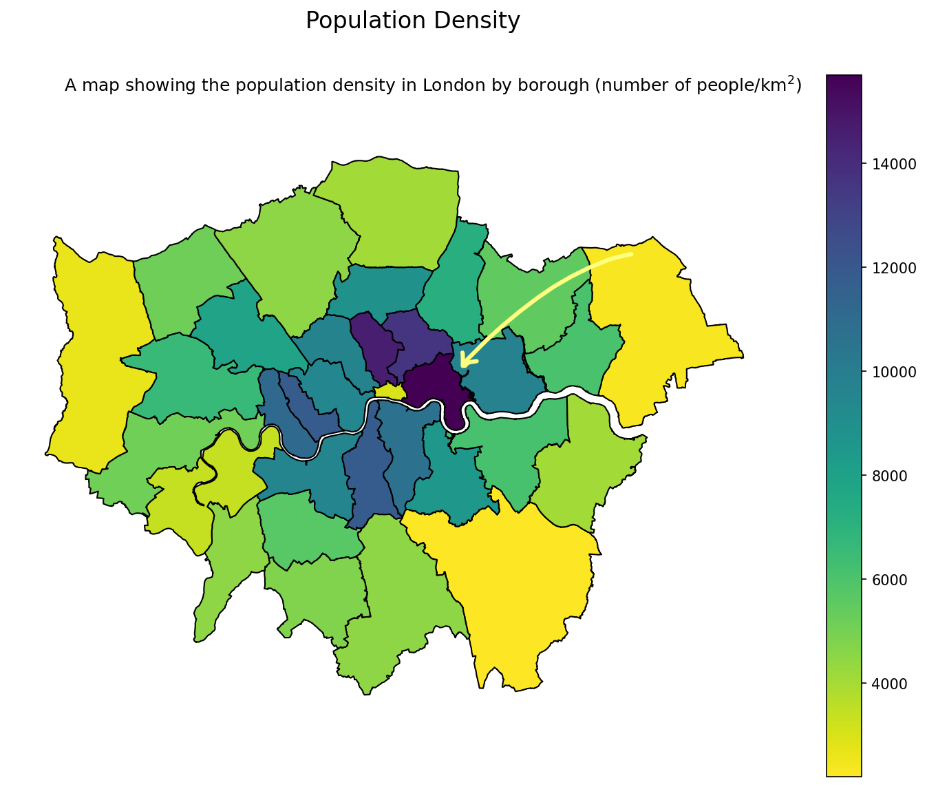
...oh yes, the data is not normally distributed
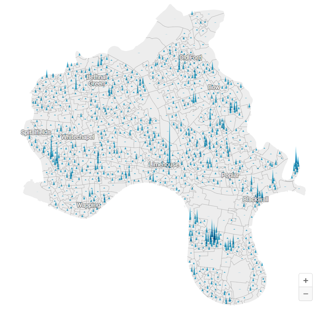
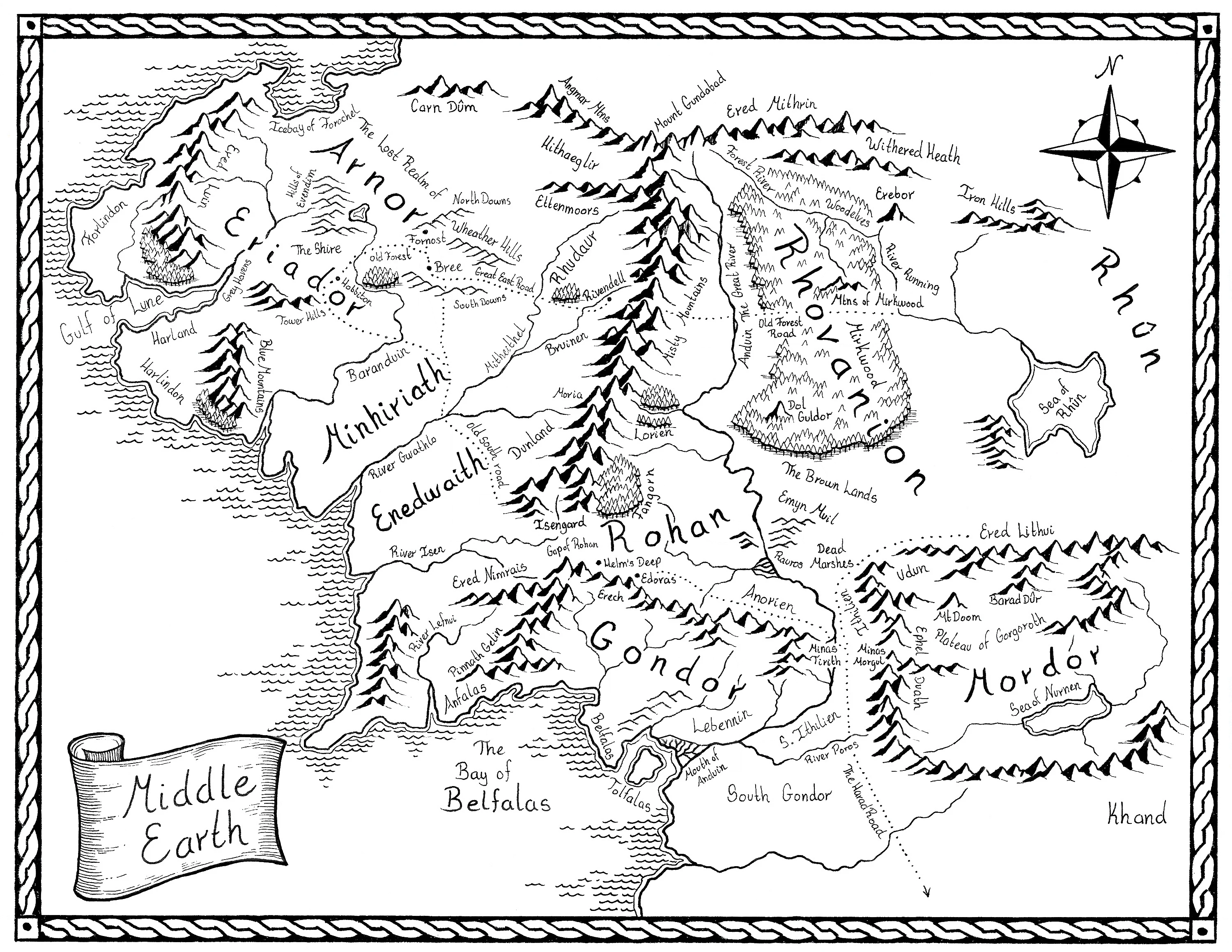
...remember this?
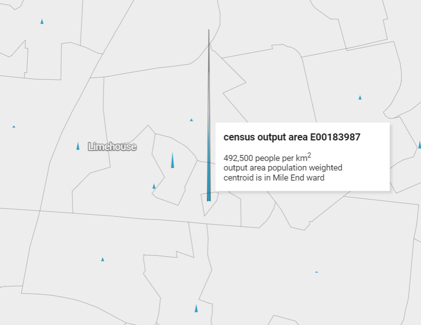
...ah yes, that is a very small census area, so the density is high relative to the space
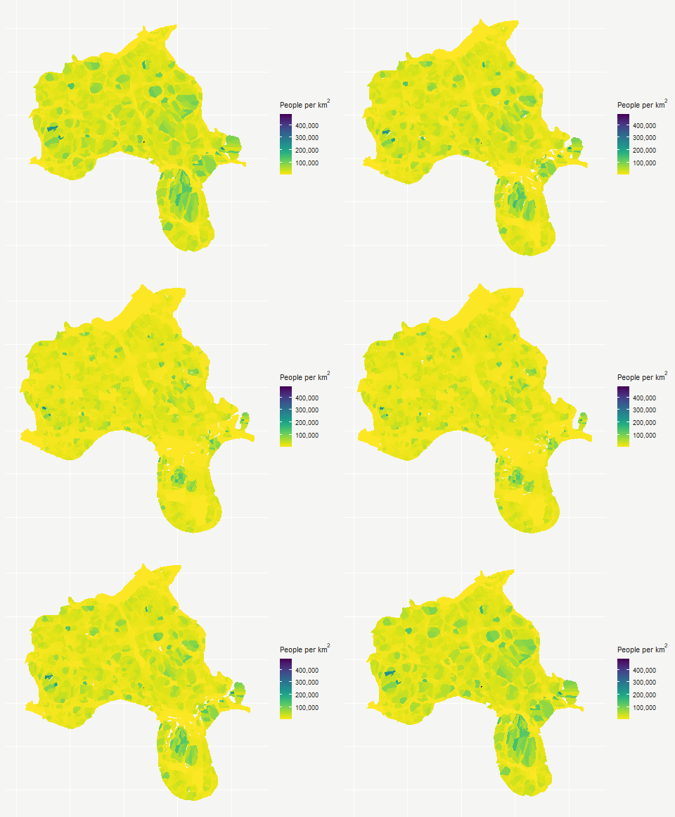
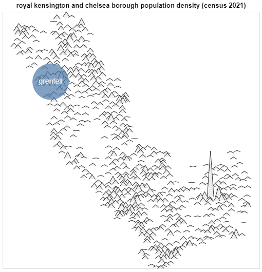
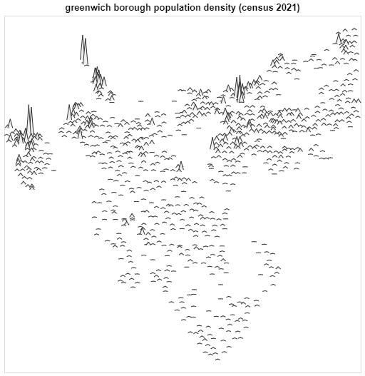
population density
population density is a bit odd at this spatial resolution
two bedroom homes
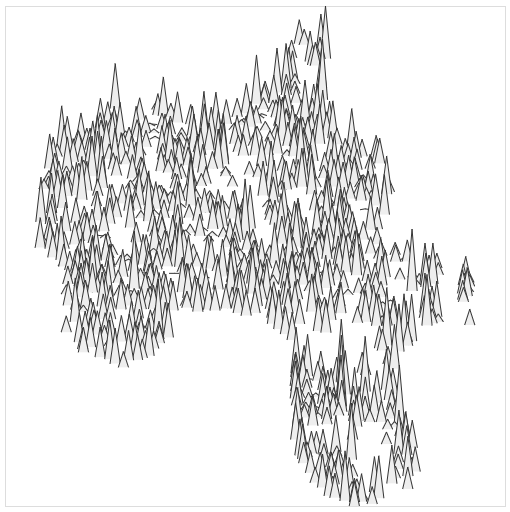
three bedroom homes
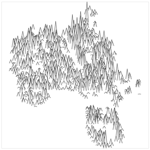
four or more bedroom homes
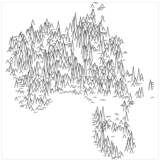
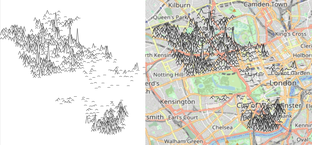
data mountains in an inner-outer city area
...finally... shout to jarek (sojourner.rocks), ed (wikidata osm link), mark, lee, and all the council coders

